Red Dots in the Kalahari Desert
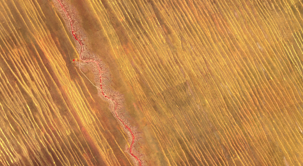
This false color image over part of the Kalahari Desert in Namibia highlights the active vegetation in red. These can be seen through the sparsely distributed red features on the Auob riverbanks and in the strange-looking red circles. These are circular agricultural fields, of up to 500 m in diameter, being irrigated with borehole water. The whole region is dominated by northwest to southeast directed parallel dunes, which can move swiftly. It is therefore extremely difficult to cultivate agricultural fields in this area.
Source: Modified Copernicus Sentinel data (2023) / Google Earth Engine
Are you interested in this topic?
At the University of Zurich, several researchers are actively studying multispectral and multitemporal satellite images. See howDr. Mathias Kneubühler, Dr. Andres Hueni, Dr. Kathrin Naegeli andDr. Claudia Röösli at the Department of Geography research as part of the group Remote Sensing Spectroscopy.
Are you a student that wants to learn more about this topic? Consider enrolling in these courses:
GEO 233: Remote Sensing and Geographic Information Science III (Basics of Remote Sensing)GEO 371: Remote Sensing and Geographic Information Science V (Remote Sensing Methods)GEO 442: Advanced Technologies and Methods in Passive Remote Sensing
GEO 443: Advanced Technologies and Methods in Active Remote Sensing